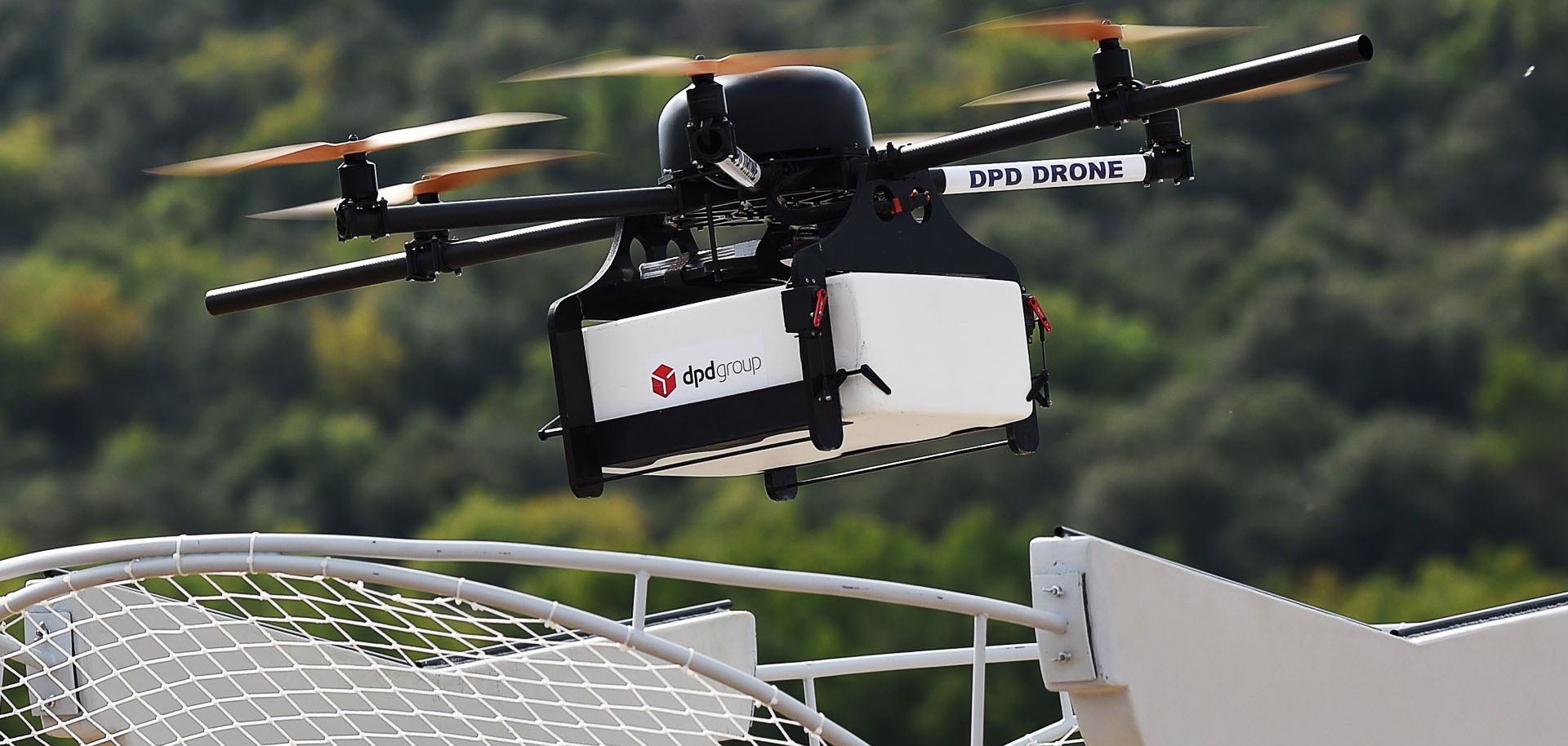
There are many exciting use cases for drones. For example, drones can be used to survey land and crop for farmers, or monitor livestock behaviour for farmers. Drones can also be used to map out inaccessible areas and monitor natural resource use on farms. Commercial drone operators need to get a license from the Directorate General of Civil Aviation ( DGCA ), which is India’s aviation regulator.
The requirements for operating commercially vary by state in India but are generally the same across all states. The license costs INR 5,000 (USD 100) and covers both commercial drone operations as well of using a drone as a security camera. It is important to note that while there are numerous applications for drones in India, they are not yet widespread.
As more people begin to use drones, the demand should increase and prices may fall slightly. Read on to learn more about what kind of applications you can find in India today…

Military Drones
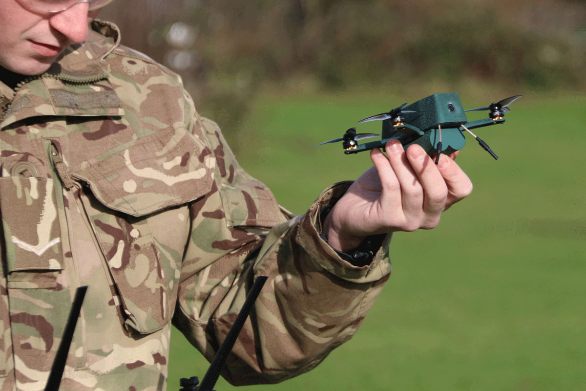
Drones for the military are frequently used for surveillance. Because these drones are operated by the military, they often do not have any civilian applications. However, there are many non-military applications for drones used in India.
For example, surveillance drones are used to monitor land, crops, and livestock to find agricultural issues that may impact farmers. These drones can also be used to map out inaccessible areas and monitor natural resource use on farms. The military uses drones for law enforcement as well.
There are many benefits of using drones in law enforcement. For example, it is possible to create detailed maps of a crime scene using drones. This can help investigators determine the precise location of evidence, such as seized drugs. It can also be used to search for missing persons or to check on the welfare of suspects at a correctional facility.
Aerial Photography
Aerial photography is a powerful way to produce high-quality images at an affordable cost. Traditional photography requires a person to be in the air or on the ground, often posing a large safety risk to both the photographer and the subject.
Drones use technology to allow for photography to be done from the air. This makes the job much safer and much less expensive. These images can be used for a variety of purposes including real estate listings, scouting out construction sites, or simply for fun.
Agriculture Monitoring and Inspection
Drones can be used to monitor crops and monitor crop health. This type of work is often done by large agricultural companies, but smaller-scale farmers can also benefit from the data collected and have access to this data through a drone. A crop health inspection drone can help farmers find issues early.
For example, a drone can be used to monitor the colour of a crop. If the crop turns a different shade, an issue such as a fungal infection may have been detected early. This type of information can help farmers avoid a large loss of crops. A crop health inspection drone can also be used to check irrigation systems for leaks or other issues.
Security Drones for Public Safety
Many cities are looking into using drones for public safety. Drones equipped with cameras and sensors can be used for outdoor policing. This can help police monitor crowd behaviour, spot potential threats, and search for missing people.
Indoor policing can also be easier with indoor mapping using geospatial data, such as drone imagery. This can help police respond to 911 calls faster by letting them know where to go without having to wait for information to be sent to officers on the ground.
Research and Educational Drones
Unmanned aircraft systems can be used for research. For example, researchers may want to study the behaviour of animals or the changing nature of a natural environment. Drones can be used to collect data on a large scale and be affordable for researchers.
This can also help collect data for educational purposes. For example, universities may want to teach students about the environment, geographic data, or how to collect data. Using a drone for this purpose makes it much easier for students to collect data.
Agriculture
Drones used in agriculture can help farmers map out the growth of their crops and get a better idea of when to plant the next crop. They can also be used to map out ripening crops so that farmers can be sure when it is time to harvest. Another application of drones in agriculture is precision spraying.
Using GPS and images from high altitudes, farmers can map out their fields and accurately determine the optimal time to spray their crops. In addition to applications in agriculture, drones are also used for food safety assurance and monitoring animal health.
Survey and Mapping
When mapping out new developments or construction projects, drones can help survey the land and take high-quality images. They can also be used to map out infrastructure like power lines for more precise planning. Another application for drones to survey and map out land is for environmental purposes. They can be used to monitor deforestation or make maps of environmental issues like flooding.
Traffic Monitoring and Management
Traffic monitoring is an area of particular growth for drones. It is often used to gather real-time data, but it can also be used to manage traffic. Using traffic monitoring, cities can use drones to monitor areas with high levels of traffic like highways. Using data from drones, they can be able to change the speed limit to decrease the risk of accidents. In addition to managing traffic, drones can also be used to collect traffic data for infrastructure and road planning.
Sports and Entertainment
This might seem like a strange application, but drones are often used for sports and entertainment. Sports like baseball, soccer, and golf all make use of drones. These days, drones are often used for aerial photography for movies and television. They can also be used for creating videos for Tourism Boards and promotional videos for businesses.
Rescue Operations and Firefighting
Drones are often used in search-and-rescue operations. They can be used to search for people who are lost in mountainous areas or remote locations. Another use of drones in rescue operations is firefighting. Drones can be used to map out areas that are at risk of wildfire. Now, this does not mean that drones can put out fires, but they can be used to map out the spread of wildfires. This can help firefighters to avoid areas that are at risk of burning down.
Conclusion
Drones will become more popular in India as prices continue to drop and technology becomes more accessible to the public. The use of drones in agriculture and public safety can provide a great benefit to those who need the data collected. However, there are many other exciting ways that drones can be used in India, including for research and education, real estate and inspections, and security and security. The possibilities are endless and drones are an exciting new tool to use in India.


